
Your Building Plans Are 15 Years Old. Your Decisions Shouldn't Be.
95% of construction data is lost after handover. SiteIQ 3D building scanners create a photorealistic, navigable digital twin of your entire facility with millimeter-level accuracy — and keep it current as your space evolves.
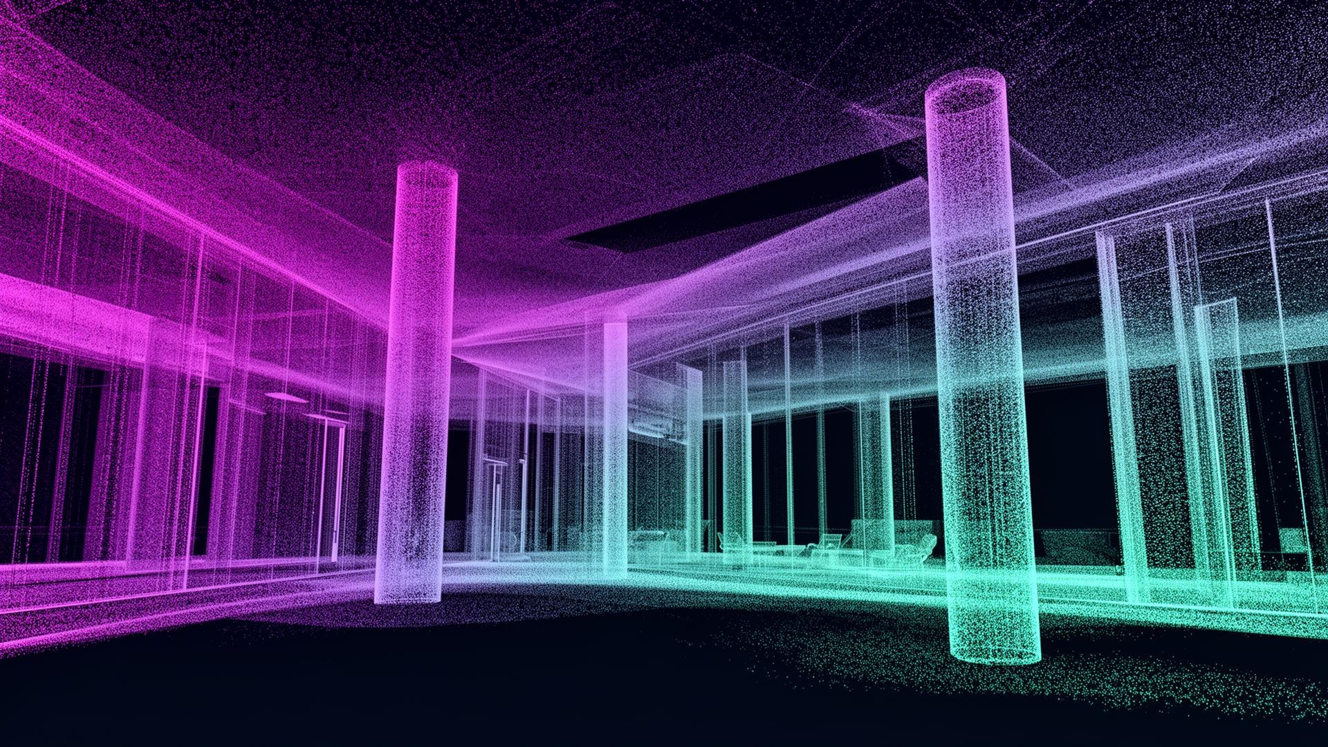
Every surface, captured. Every change, tracked.
construction data unused after handover
Source: FMI / Autodesk
facility teams receive incomplete documentation
Source: Industry survey
rework caused by poor as-built data
Source: FMI
operating cost reduction with digital twin tech
Source: Deloitte
Your Building Documentation Is a Liability, Not an Asset.
The drawings on file describe a building that no longer exists. Every retrofit, every tenant fit-out, every move-add-change widens the gap between record and reality.
CAD Plans Last Updated During Construction
The drawing set on file shows the building that was designed — not the one your team actually operates today. Every renovation widens the gap.
Manual Measurement for Every Project
A vendor walks the space with a tape measure and a notebook for every retrofit, every install, every lease change. The same building, measured a hundred times.
Equipment Locations Tracked in Spreadsheets
Asset registers in Excel. Photos in someone's phone. No spatial truth — and no way to find anything without walking the building first.
From Physical Building to Digital Twin in Four Steps
Scan
Walk the building with a handheld Light Detection and Ranging (LiDAR) scanner — or let a robot do it. Capture millions of spatial data points per minute.
Render
Point clouds and photogrammetry assemble into a navigable, photorealistic 3D model of your facility, accurate to ±2mm.
Enrich
Tag floors, zones, rooms, and assets. Pin equipment, sensors, and work orders to real spatial coordinates.
Activate
The twin becomes the spatial layer for every other system — sensors, robots, energy, and operations.
The Digital Twin Is the Foundation Everything Else Runs On
A scan is not the deliverable. The deliverable is a spatial substrate every other SiteIQ system reads from and writes to — every day, automatically.
IoT Sensors
Every device pinned to a 3D coordinate. Alerts arrive with location, not device IDs.
Cleaning Robots
Pre-mapped routes, exclusion zones, and elevator handoffs — no on-site mapping required.
Energy Intelligence
HVAC zones, glazing, and equipment placement inform energy modeling and optimization.
Asset Management
Find any asset in seconds. Tie work orders to physical locations, not vague descriptions.
Command Center
Operations, security, and facilities share one spatial picture across every site in the portfolio.
Capture Hardware for Every Workflow
From one-time as-built scans to robots that rescan your facility every night — the right capture method for the cadence you actually need.
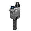
Xgrids Lixel L2 Pro
Walk-and-scan handheld LiDAR for full-building capture. Millimeter accuracy at human pace, no tripod, no static setups.
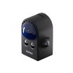
Xgrids PortalCam
Continuous spatial camera capture for high-frequency reality updates. Ideal for active construction and frequent change.
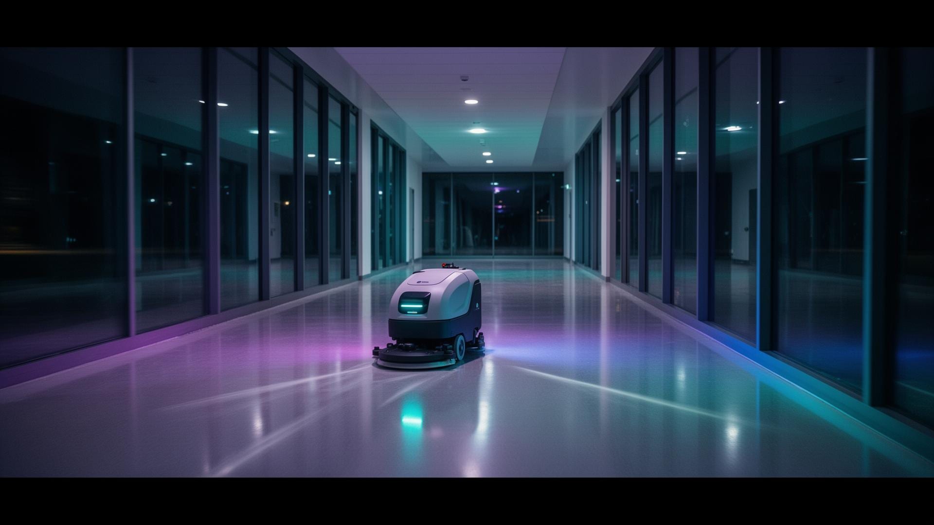
Robot-Mounted LiDAR
LiDAR payloads on cleaning and outdoor robots — your building is rescanned every time it's cleaned. Always-current twin.